
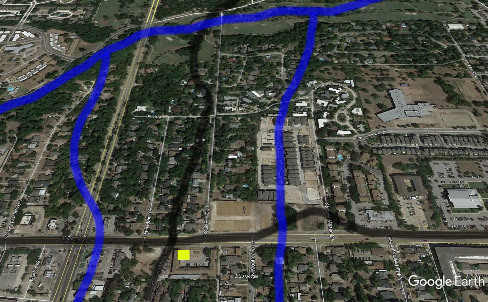
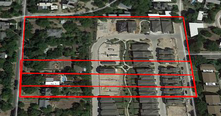
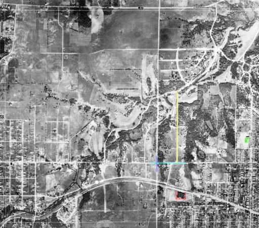
Attempt at Overlaying
The black horizontal line near the bottom is what is now known as Davis Street. The black vertical line would have been Wheatland Road. The blue lines were/are creeks.
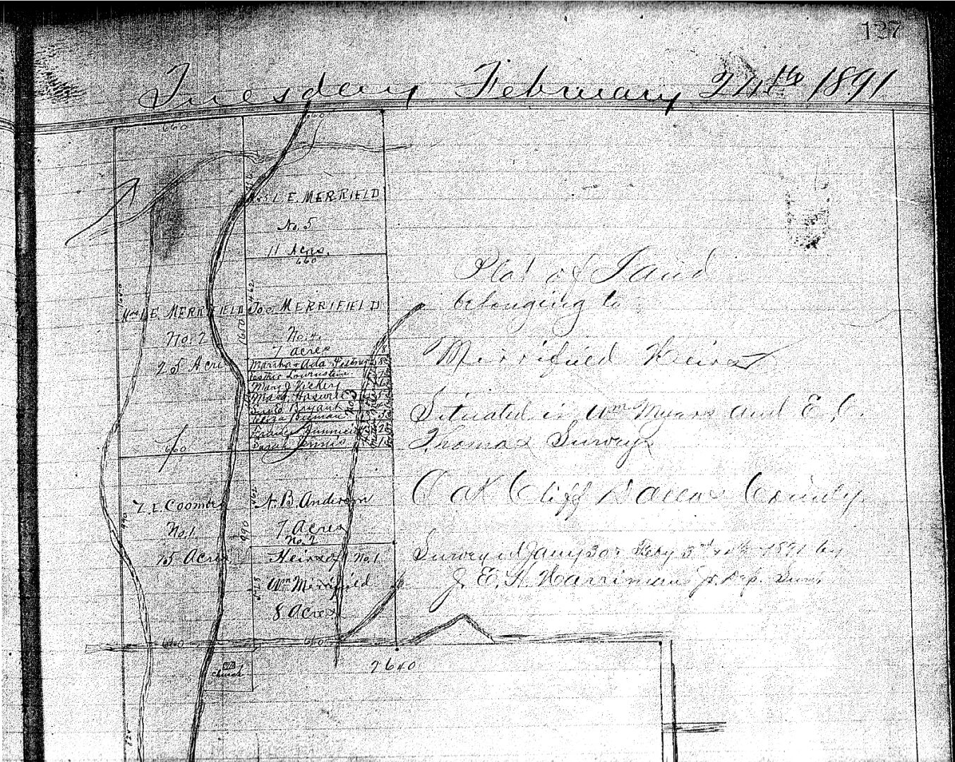
February 24, 1891
The settlement of the estate of John Merrifield — showing a Court clerk’s attempt to match the survey drawings made by S.A. Rush and his survey team. Assumption that the original survey drawing was given to the heirs, or their attorneys, to go out and claim their sites.
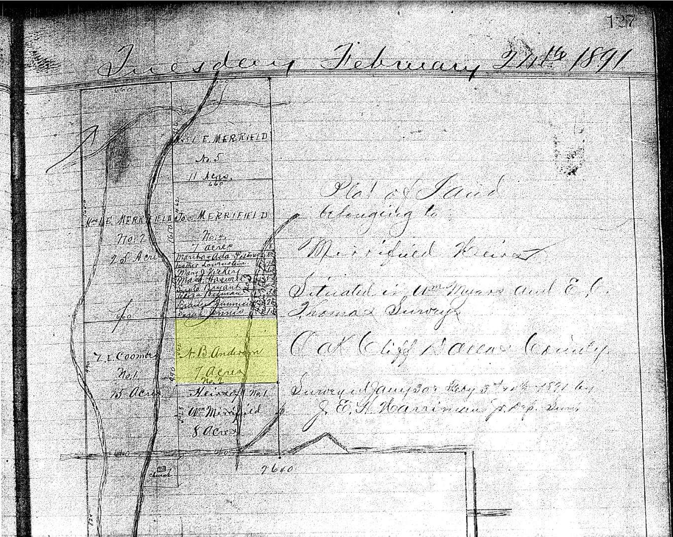
The area highlighted in yellow is the 7 acre tract inherited by N.B. Anderson.
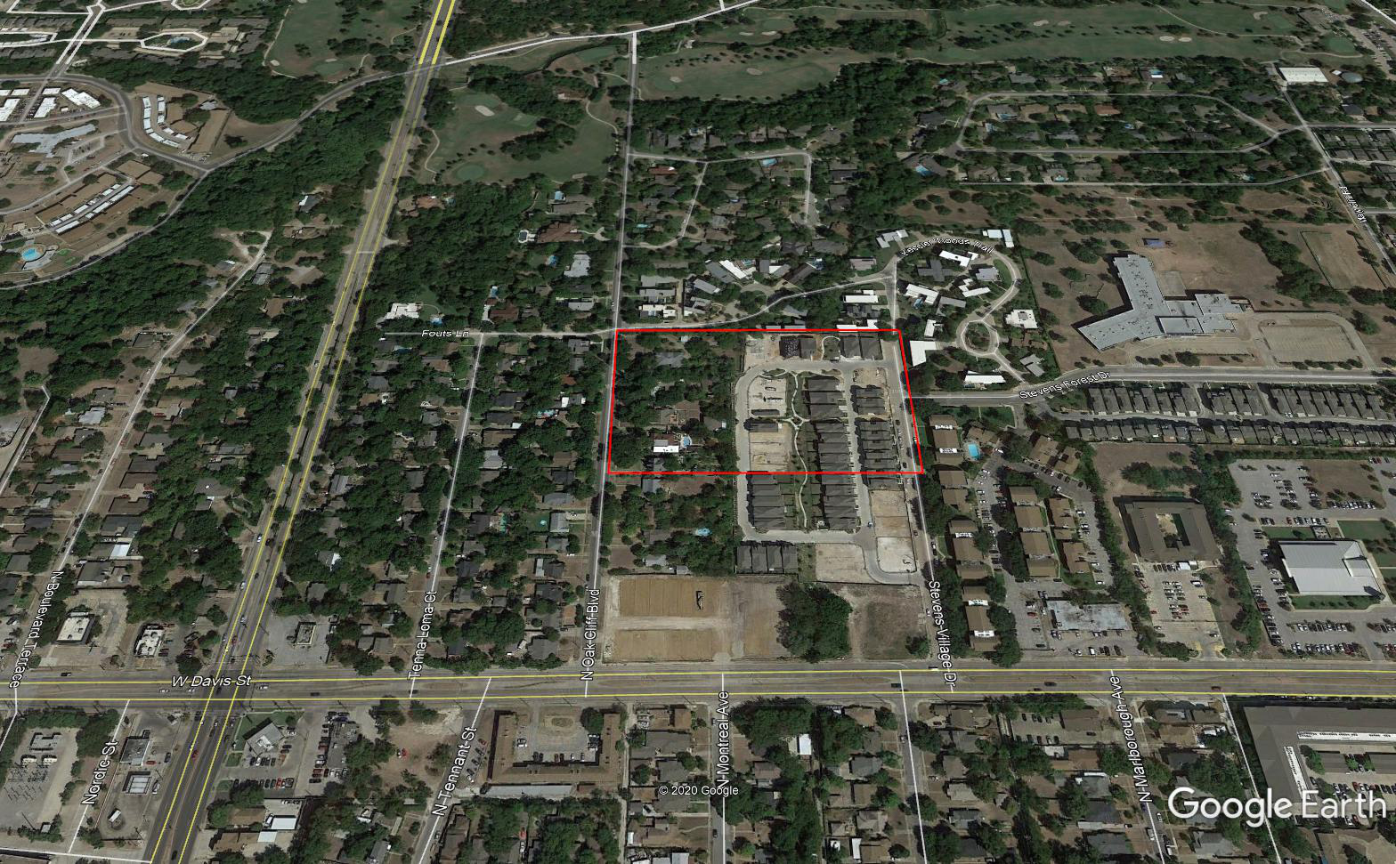
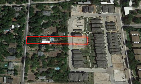
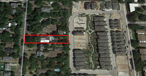
The red rectangle is the approximate 7 acre area.
Sometime Later
The 7 acre tract has a 3 acre partition cut out.
The 3 acre partition is subdivided into three one acre lots.
702 lines are established.
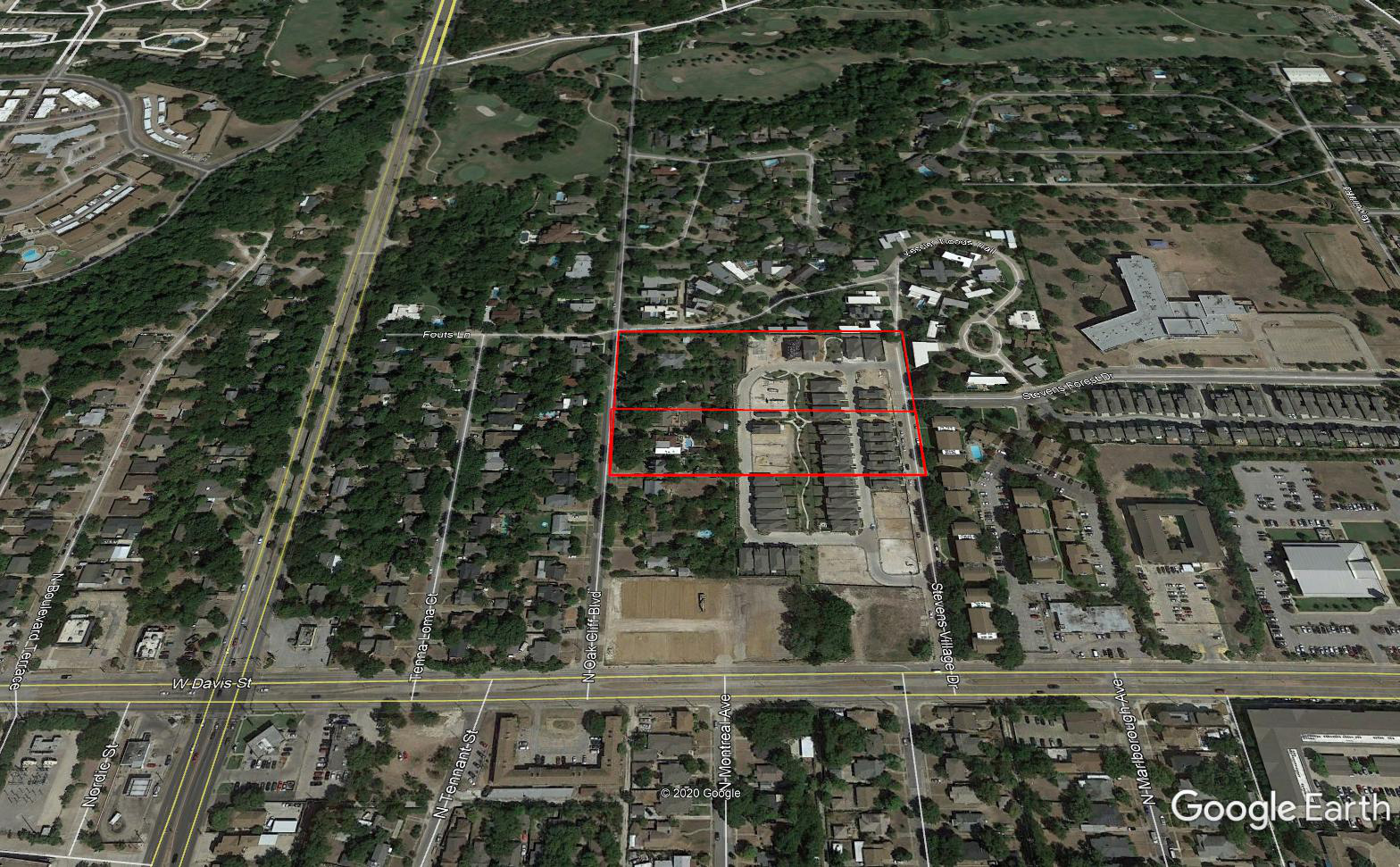
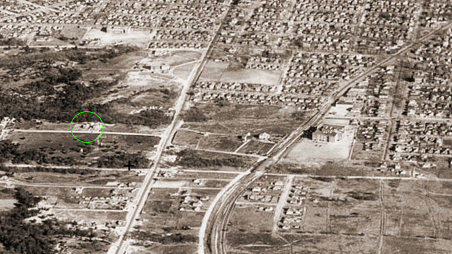
1930 Aerial View
Sunset High School – Red
Rosemont Elementary School – Green
Davis Street – Turquoise
Hampton Street – Blue
Wheatland Rd – Oak Cliff Blvd – Yellow

Charles Gets the Land
On August 10, 1931 the lot soon to be designated 702 is sold to Charles Edwards.
It was a family deal. E. F. Wilkinson purchased the land with a loan of $4,000.00 on July 29, 1931. Charles paid $1.00 to his father-in-law and picked up the loan with monthly payments of $42.50.
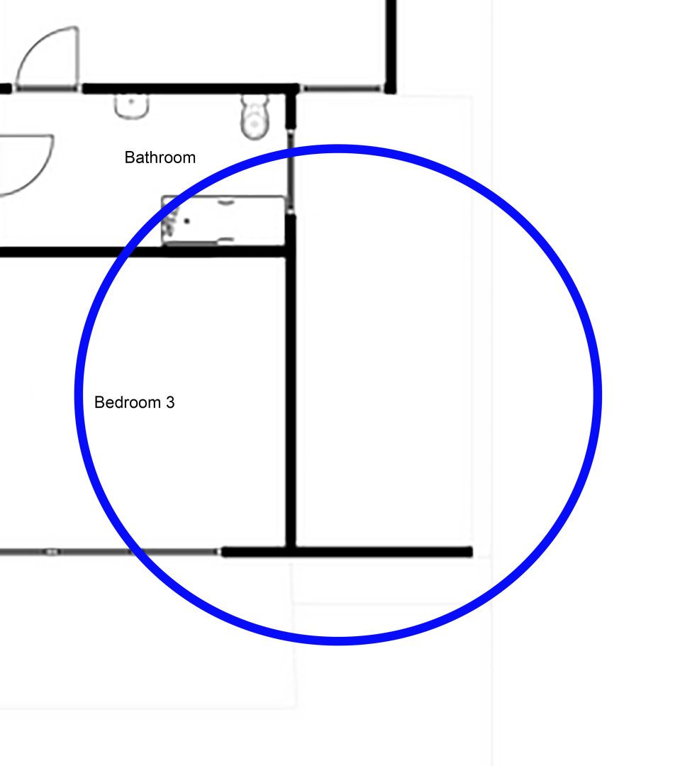
Charles and Myrtle Get the House Built
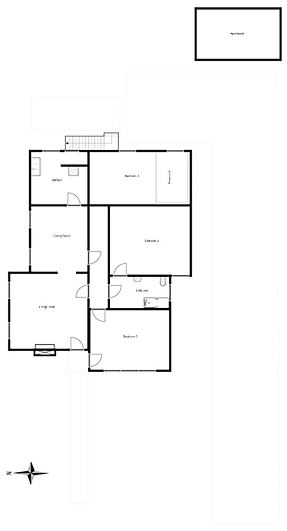
A three bedroom house with one bathroom. Living room with a fire place, large dining room, and a kitchen with room for a breakfast/casual eating area.
A separate apartment, two stories.
An area carved out under the house, just large enough to park one car. Referred to as the basement.
Bedroom 3 could be used as an optional room, library, office, etc.
Heating provided by natural gas furnaces throughout the house.
A long gravel driveway from the street to the back of the house.
The drawing is an approximation, being done by memory. Scale and measurements are all off. The conjunction of the east side of the hallway, kitchen, bedroom 1 and bedroom 2 is not right, but will have to do until better memories prevail.
1933 Maybe?
Two houses have been built on North Oak Cliff Blvd. Probably 702 and 700.
Rock Wall and Patio
A large rock wall and patio are added on the south side, just outside Bedroom 3. The wall was probably 8 feet tall with an arched passage to the patio.

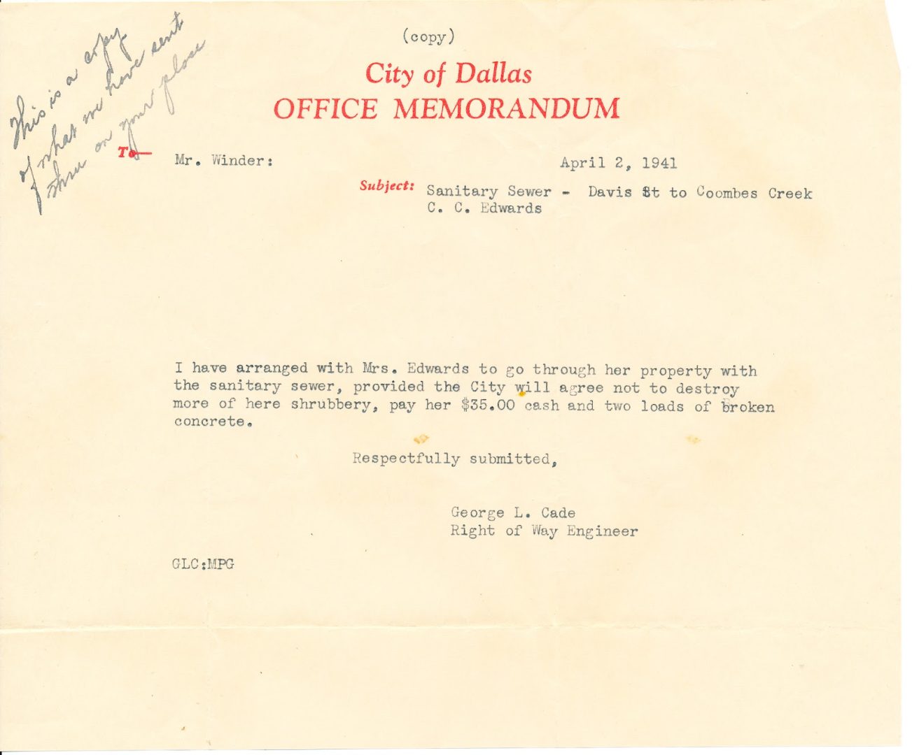
1941 Sewer Installation
I guess the city made a mess surveying for the sewer line. Myrtle was not happy.
They messed up the garden then got the easement rights.
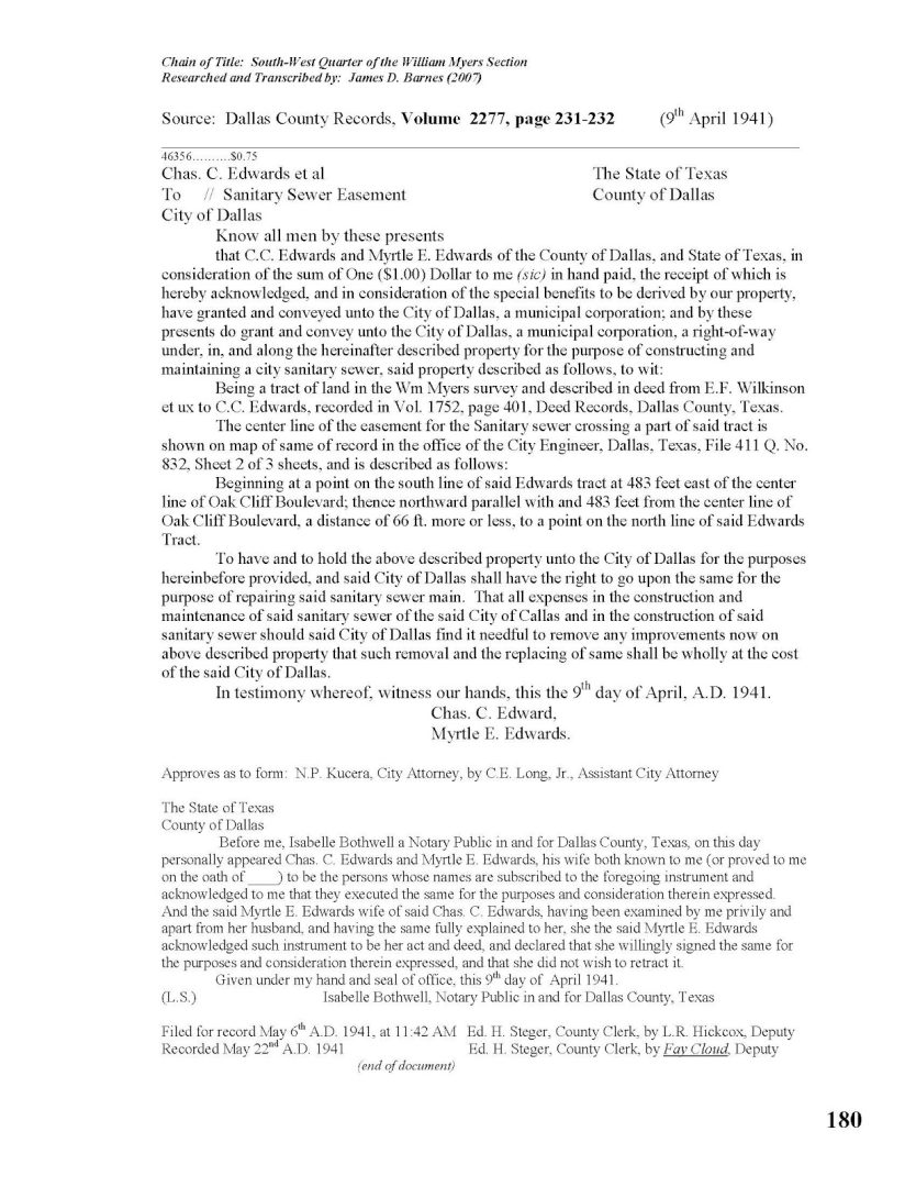
Dallas Easement for Sewer
On April 9, 1941 the City of Dallas acquired an easment to install a sewer line running north and south. The line would be 483 feet east from the center of Oak Cliff Blvd. That would put it just on the east side of the creek.
The area east of the creek is sold off.
The area east of the wall, towards the creek is sold off.

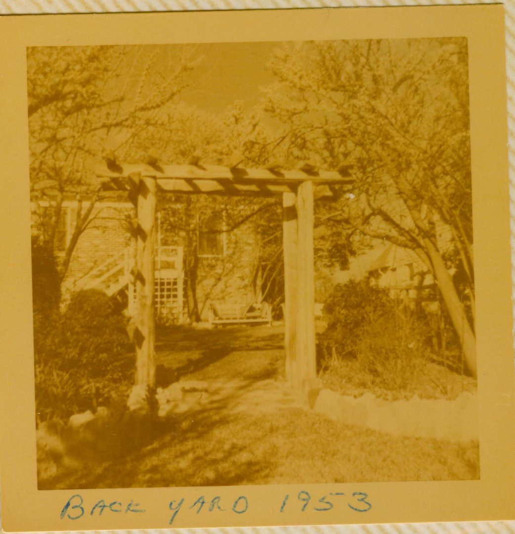
Looking West in the Backyard
The picture shows the back steps, probably the original construction.
The arbor will be torn down, but eventually replaced with a much larger structure just a little further east.

Basement Door and Back Steps
Although the picture was taken in 1968, the door and back steps were remodeled between 1961 and June of 1966.
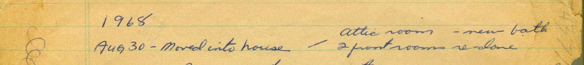
Alfred, Carol and Four Sons Move In


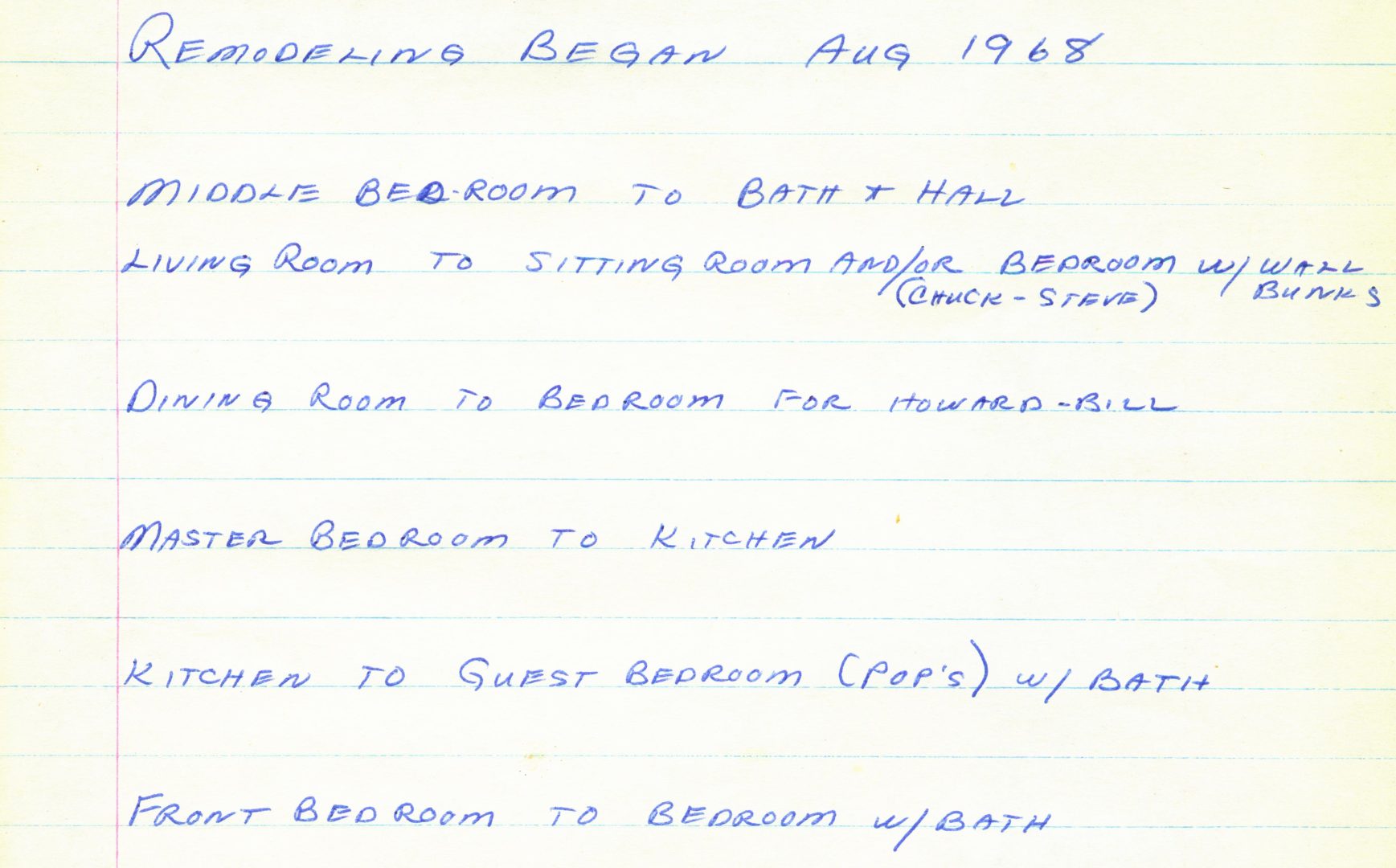


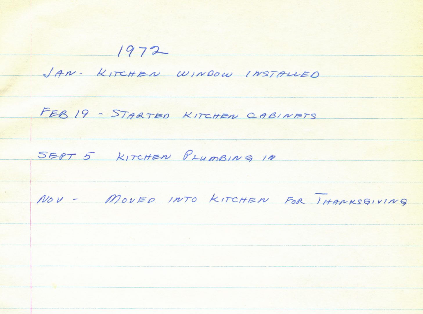
1972 Progress Report
A classic scaffolding design.


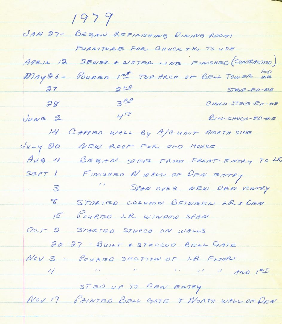
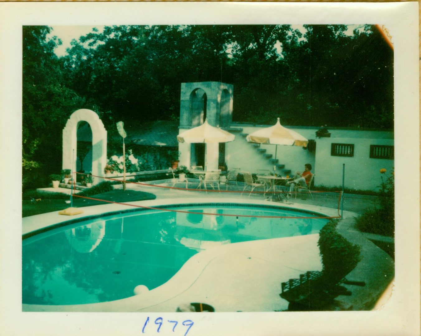
1979 Progress Report
The bell tower almost done. Carol enjoying a rare relaxing moment.
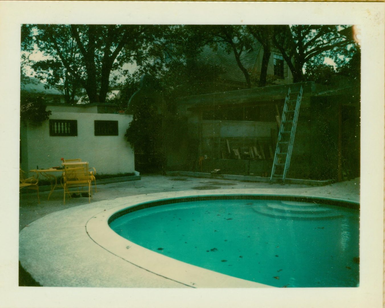
Long way to go on the new living and dining room. Hope that bell gate holds together.